Before the Camera Took to the Sky
Before aerial photography, hilltops, towers, and imagined bird’s-eye views framed landscapes in different ways. Learn what the camera changed—and what it kept.
The common mistake is to treat aerial photography as a visual habit born with the aircraft. That misses the older ways people used elevated positions and imagined viewpoints to frame landscapes. A hill, a tower, and a drawn bird’s-eye scene could all show more than a ground-level view, but they did so by different means.
Those earlier views were not rough drafts of aerial photographs. A hilltop offered a real prospect from a fixed place. A tower could expose parts of a town that street level concealed. A printmaker could construct a view no observer could occupy. Photography joined these impulses to a camera that could travel, while keeping the choices of viewpoint and framing firmly in the picture.
What can a hilltop show that a map cannot?
A natural rise—a ridge above farmland, a bluff overlooking a harbor, or a slope above a settlement—can place nearby details and distant shapes in one scene. Paths meet, buildings gather, and the land continues toward a visible horizon. Unlike a map, the view retains the appearance of standing in a particular place.
The observer’s position matters. A tree, wall, or rock can anchor the foreground; a turn of the body can shift the composition. A rise also has limits: another slope may hide a valley, and distant terrain may appear compressed against the horizon.
These are visual possibilities, not a universal historical rule about who used hilltop views or why. A specific painting, travel account, or local view would be needed to support a claim about a particular maker or audience. The safer comparison is about what the vantage point permits: a broad prospect that still has a human foothold.
How do towers and rooftops alter an urban view?
A tower, rooftop, or church steeple puts the observer above some of a town’s streets without removing them from the scene entirely. Roofs, courtyards, lanes, and squares may become visible together, alongside fields or a waterfront at the edge of the settlement.
The view is often bounded by architecture. A parapet may cross the foreground; nearby buildings can hide the very streets someone hopes to inspect. Those interruptions locate the observer within the town rather than in an all-seeing position. A tower can suggest an overview without showing every part of a place.
It is more useful to describe this as an opportunity offered by height than to assume that towers were generally built or used for a particular kind of image-making. The distinction helps keep the visual analysis specific: what does this perch reveal, and what does its structure block?
Why did artists invent bird’s-eye views?
Drawings and prints could present a town or landscape from an angle that no ordinary perch supplied. Streets might spread across the image while buildings remained recognizable from the side. The maker could lift an obstruction, adjust an angle, or organize separate details into a single scene.
That flexibility solved a visual problem. A strict overhead view hides façades; a ground-level view hides the larger arrangement. A constructed bird’s-eye view could make both legible, but its clarity came partly from the maker’s decisions. It should not be mistaken for a record of one camera position.
When examining one of these images, look for signs of that construction: roofs and fronts visible at once, streets that seem unusually exposed, or a layout arranged for easy reading. These clues do not identify the artist’s exact process, but they help distinguish a composed view from a photograph made from a particular elevated position.
What did aerial photography inherit from older views?
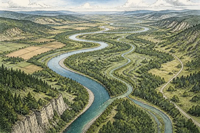
Aerial photography extended the elevated view by placing a camera in a balloon, aircraft, or another raised position. The camera could record a particular arrangement of roads, roofs, fields, and water from a changing vantage point. The resulting image still depended on height, angle, lens, light, and the moment of exposure.
A camera does not make a view neutral. The photographer chooses where to point and when to expose; terrain and buildings hide some details, while the frame excludes everything outside it. But unlike an invented bird’s-eye scene, a photograph records the view from an actual camera position, including its particular obstructions and perspective.
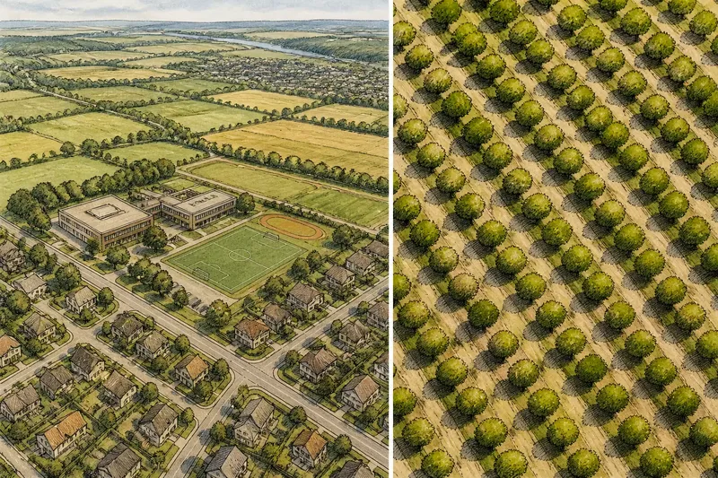
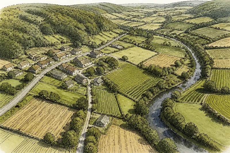
A slanting aerial image may recall a hilltop prospect because it can preserve a horizon and a sense of distance. A steep downward view may resemble a composed bird’s-eye image because patterns across the ground become prominent. The resemblance is visual, not a claim that the photograph and the older image were made in the same way.
Which viewpoint suits the landscape you want to show?
Start with the relationship the image needs to make visible. A higher position is not automatically better. A low oblique angle may connect a settlement to a ridge; a steep view may make the arrangement of roads and roofs easier to read.
- Check whether the horizon matters: If distant terrain and a sense of place are essential, choose a hilltop or low oblique view; if not, consider a steeper angle.
- Check whether façades matter: If building fronts help explain the subject, avoid a strictly overhead view; if roof patterns matter more, a steeper view may fit.
- Check what nearby buildings conceal: If a tower or rooftop blocks the feature you need, choose another perch or a different angle.
- Check whether the subject is a connected settlement: If roofs, streets, and nearby fields need to read together, compare an urban perch with an oblique view from outside town.
- Check whether every feature could share one viewpoint: If the image needs details that no single position reveals, use a clearly identified constructed view; otherwise, keep the viewpoint tied to one observed position.
- Check whether the image’s purpose is pattern or depth: If the ground layout is primary, favor a steeper view; if the relation between foreground and distance matters, favor an oblique view.
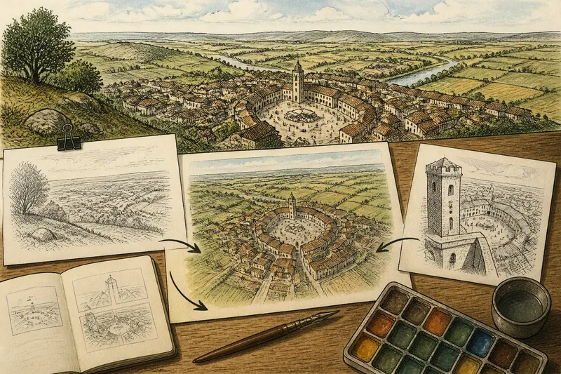
Say an illustrator wants to show a village around a market square, with fields beyond it. In this invented situation, the starting point is a sketch made from a nearby ridge: the fields and horizon are clear, but roofs hide the square. The illustrator then sketches the square from a tower, where its position is easier to follow but the fields recede from view. Finally, the illustrator combines those observations into a constructed elevated scene. The expected result is a more legible relationship between square and fields, with the tradeoff that the image does not represent one actual vantage point. If the goal instead is to document a single observed view, the illustrator should keep the ridge or tower viewpoint separate rather than combine them.
What questions help distinguish these views?
Is a bird’s-eye view always an aerial photograph?
No. The phrase can describe a drawing or print organized to resemble a view from above. Aerial photography refers to a camera image made from an elevated position.
Why do some bird’s-eye images show building fronts?
A maker could combine a high viewpoint with side-facing details so roofs and façades remained recognizable. A photograph records its camera’s direction, so a steep downward angle generally shows less of the fronts.
Does an aerial photograph show the whole landscape?
No. It shows only what falls within the frame from a particular position and angle. Terrain, buildings, and other obstructions can hide features, while everything beyond the frame is absent.
When is an oblique aerial view more useful than an overhead view?
An oblique view helps when the horizon, depth, or connection between a foreground feature and distant terrain matters. An overhead view can make the arrangement of features across the ground easier to follow.
What is not worth the effort?
It is not useful to rank every elevated view as accurate or inaccurate before asking what it was made to show. A constructed bird’s-eye scene and a photograph answer different visual questions. Compare what each includes, what it conceals, and whether its viewpoint is observed or composed.
Aerial photography inherited an old desire to see a landscape as a connected whole, but it did not erase the choices behind that desire. When reading an aerial photograph, notice whether its angle recalls a hilltop prospect or a schematic overview, then look for the specific position and obstructions that make this particular image. That distinction is the useful point: the view from above is both a way of seeing and a way of framing.