The Map-Like View: Why an Aerial Photograph Is Not a Map
An aerial photograph can resemble a map while leaving scale, labels, and boundaries uncertain. Learn what the image shows—and what it cannot tell you.
The common mistake with an aerial photograph is to read its neat overhead view as if every road, field, and shoreline already carried a map’s meaning. That can cost you the difference between seeing a pattern and knowing where it is, how far it reaches, or what a feature is called. An aerial photograph records visible surfaces; a map organizes selected information about places. The distinction matters precisely because the photograph can look so convincing.
Here are six ways to read that map-like view without asking it to supply information it never recorded.
1. What does an aerial photograph actually record?
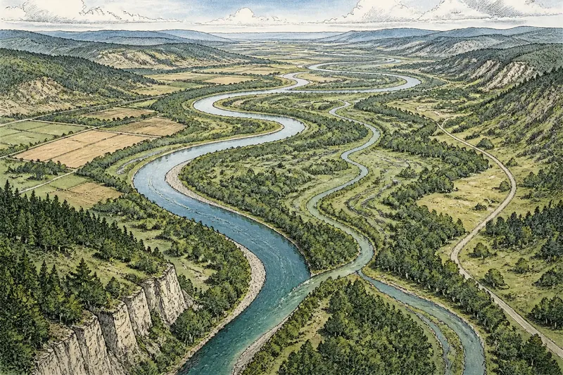
A photograph captures light reflected from surfaces at a particular moment and from a particular viewpoint. A dark strip might be water, a shadow, wet soil, or pavement. A pale line could be a road, a track, a bare drainage channel, or simply a change in vegetation. The camera does not attach a name or explanation to any of them.
A map, by contrast, uses conventions to identify features. It may distinguish a river from a road with different line styles, label settlements, and explain symbols in a legend. Those choices are interpretive: someone has decided which information matters and how to represent it.
That does not make a photograph less truthful. It makes its truth different. It preserves visible detail and surface relationships, but leaves viewers to infer what those details signify. A photograph can reveal a winding route through woodland without establishing whether it is a public road, a private lane, or a seasonal track.
2. Why can an overhead image feel like a map?
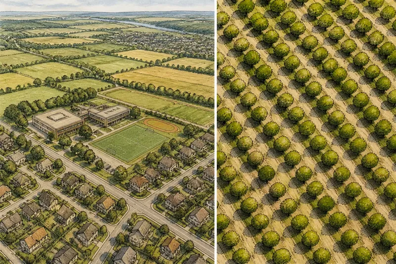
From above, familiar places become arrangements of shapes. Streets form grids, fields make patchworks, and a harbor’s piers resemble strokes on a diagram. The camera’s elevated viewpoint suppresses some of the cues we use at ground level, such as eye-height perspective and the apparent size of nearby objects. The remaining shapes can look orderly and abstract.
That visual order invites interpretation. A viewer may recognize a schoolyard, a bend in a road, or a cluster of buildings and mentally supply the names and functions. But recognition is not the same as information contained in the image. Two similar roof shapes may belong to entirely different buildings; a broad open area may be a park, a farm, or an undeveloped lot.
Composition can intensify the effect. A tightly framed image may make a road appear central and important because it dominates the frame. A map’s placement, scale, and symbols, however, follow a system intended to communicate spatial information, not just visual emphasis. The photograph’s composition guides attention, but it does not certify significance.
3. What relationships does the image leave uncertain?
An overhead photograph is useful for observing which visible features sit near one another. It can show a road crossing a field, buildings gathered along a shore, or tree cover breaking into open ground. Yet proximity in the frame does not settle every spatial question. The image may have perspective distortion, and features at different elevations can appear displaced relative to their ground positions.
Scale is another gap. Without a scale bar, known dimensions, or other reliable reference, a viewer cannot safely convert a visual distance into a measured one. A long-looking bridge might be short in a broad landscape; a narrow-looking road might stretch across a large region. The frame alone is not a ruler.
Nor does a still image necessarily reveal direction or height. The top edge is not automatically north, and an elevated camera angle may make a sloped surface look flatter than it is. If precise location, distance, direction, or elevation matters, consult an appropriate map or geospatial source rather than treating visual appearance as a measurement.
4. Which clues should you question first?
- Names: A photograph rarely identifies a town, road, river, or building by itself. Look for a caption or a separate geographic reference.
- Boundaries: A fence, hedge, or crop line may be visible, but its legal or administrative meaning is not. Do not treat a visible edge as a property line without authoritative information.
- Symbols: A map’s icons and line styles belong to a legend. Similar shapes in a photograph are not symbols with fixed definitions.
- Distance: Apparent length and separation depend on framing, viewpoint, and image scale. Seek a scale reference before comparing distances.
- Time: A photograph shows conditions at the moment of capture. It cannot by itself confirm whether a road, shoreline, or field pattern remains the same today.
- Function: A roof, cleared patch, or water channel may suggest a use, but appearance alone does not establish what people do there.
These checks are most useful when a visual impression starts turning into a claim. “There are several clearings beside the road” describes what can be seen. “The road serves a particular facility” adds an interpretation that may need independent confirmation.
5. How can you read the photograph without overclaiming?
Separate observation from inference. First describe visible qualities: a pale line curves between two dark patches; a cluster of roofs sits near the water; cultivated strips run across a slope. Then mark the interpretation as tentative: the line may be a road, the dark patches may be ponds, or the strips may follow the land’s contours.
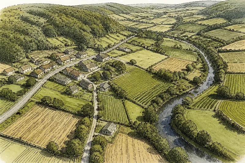
Imagine you are looking at an aerial image of a rural valley. You see a narrow line running from a group of roofs toward a larger road, with a dark band beside it. Calling the line a “farm track” and the band a “stream” may be plausible, but the image alone does not settle either name. A caption, map, or other location-specific source could help establish what they are; until then, describing their visible shapes and positions is more accurate.
This restraint does not flatten the image into a sterile inventory. It gives interpretation room to develop while keeping the evidence clear. You can still notice how a settlement follows a valley or how fields form a repeating pattern. Just distinguish the pattern you see from the cause or official designation you infer.
6. What questions help distinguish a photograph from a map?
Does an aerial photograph show true scale?
Not necessarily. Scale depends on the image and its reference information, and perspective can affect apparent size and position. Use a scale bar or a suitable mapped source for distance claims.
Can an aerial photograph tell me what a building is?
It may offer visual clues, such as a roof shape or location, but those clues are not a definitive label. A caption or reliable location reference may identify the building more clearly.
Is the top of the image always north?
No. The frame’s orientation depends on how the image was captured and presented. Look for an explicit orientation marker or consult a map with a stated north direction.
Can a photograph show a legal or property boundary?
It can show visible features that may follow a boundary, such as a fence or hedge. The image alone does not establish ownership or legal status, so consult the relevant official records when that distinction matters.
Not worth the effort: trying to decode every patch of color as though the photograph contains a hidden legend. A visual match can be a useful clue, but inventing precise labels from ambiguous shapes makes the image seem more informative than it is.
Why does the distinction improve interpretation?
Maps and aerial photographs answer different questions. A map is designed to select and name spatial information; a photograph offers a view of visible surfaces from above. Used together, they can complement each other: the map can locate and label, while the image lets you examine the texture and arrangement of what was visible.
The map-like view remains powerful because it lets the eye compare shapes across a landscape at once. Its limits are part of that power, not a reason to dismiss it. Read an aerial photograph as an image first, and treat its map-like appearance as an invitation to ask better questions—not as proof that the labels, measurements, and relationships are already there.